Why trash mapping is needed?
Waste mapping is the first stage before World Cleanup Day. Visualizing the amount and locations of waste helps to gain:
- Attention – to attract media’s and partner’s attention.
- Awareness – to raise awareness in people and reduce general trash blindness.
- Commitment – to attract government’s attention.
- Engagement – to help to find volunteers for World Cleanup Day.
- Budgeting – to help to calculate resources (bags, gloves, water etc.) needed for clean-ups.
- Evaluation – to help to plan the number of people needed to clean up one trash point and for overall cleanup.
- Positioning – to help to find the best meetup locations on World Cleanup Day.
- Learning – data from trash points will be used for creating Waste Index and Keep It Clean! Plan.
How to map?
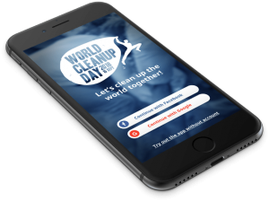
Data is collected through a easy-to-use Curaçao 311:
 |
 |
Trash points mapped can be seen in:
Planning a mapping?
Got excited and planning your own mapping? Here are some important things to consider:
- Mind the climate. Since smartphones are used for mapping, it cannot be done while heavy rain.
- Make sure whom you have to co-ordinate with! Your local government, in times also police, should always be notified when there are bigger mapping events taking place.
- Each volunteer should give her/his best to keep the data in a good shape. Please delete all the “test” trash points that are not showing real trash during 24h from creation.
- Please don’t leave any people/companies logos (if not included in the trash pile) on the photo.
- Don’t forget to have FUN!!!
Need help?
Contact worldcleanupdaycuracao@gmail.com if you have any problems running the app or questions regarding mapping.
